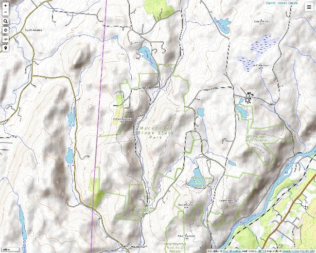
Macedonia Brook State Park is nestled in the rugged hills of Kent, Connecticut between the Housatonic River Valley and the New York border. It is a very well developed, popular park with both camping and hiking facilities. It is easily accessible from Route 341, and there is convenient parking. There are many trails marked clearly with various colors, and an informative map of the park is available online.
Heading north on the Blue Trail. The Blue Trail follows Macedonia Ridge, which straddles the New York border. The Blue Trail has a rather innocent looking southern entry, but there are a few rugged sections.
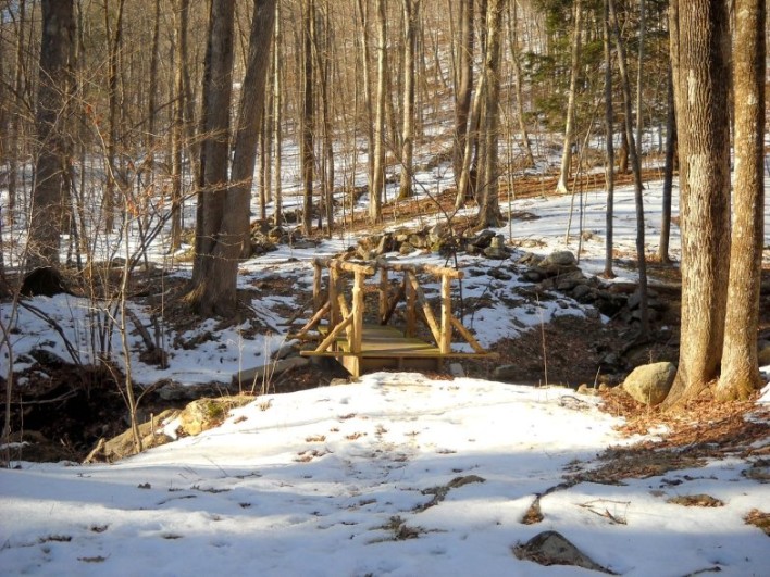
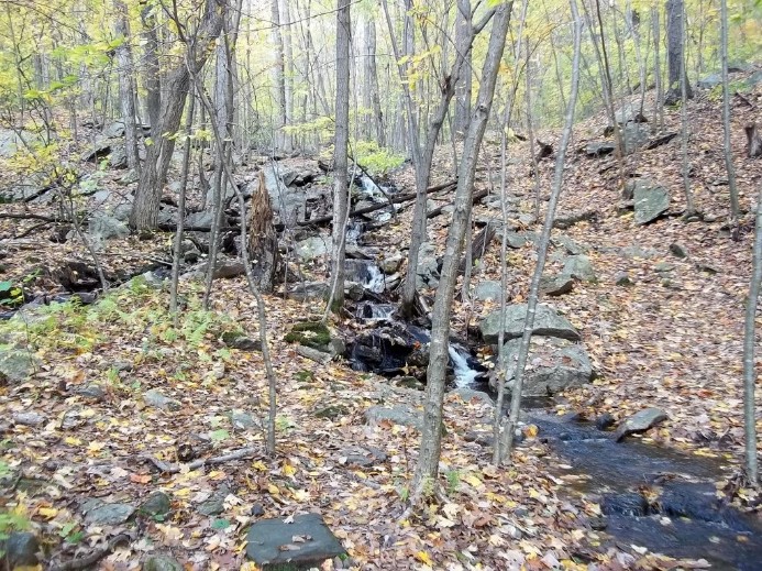
Crossing over an unnamed tributary of Macedonia Brook.
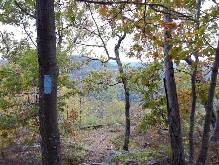
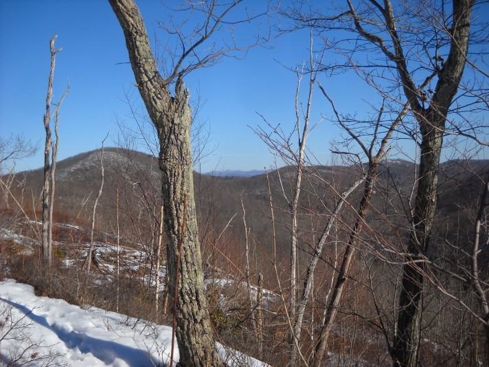
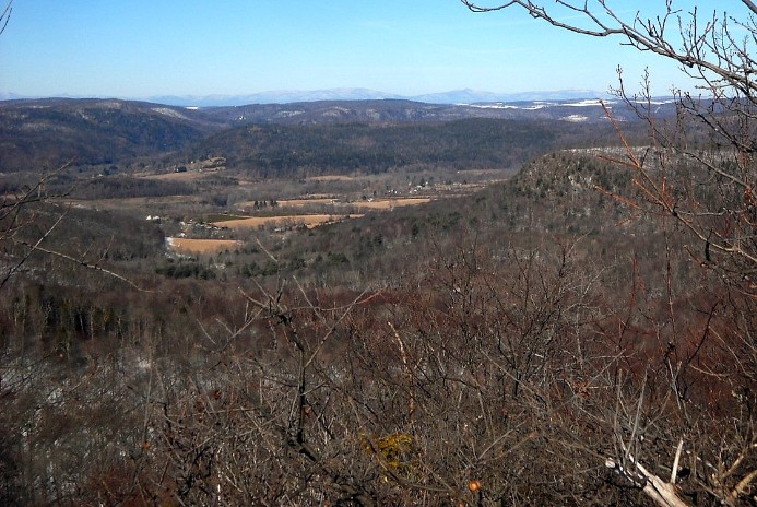
There are several small peaks on the Blue Trail. This is a partial view from the trail south of Cobble Mountain toward the Housatonic River Valley.
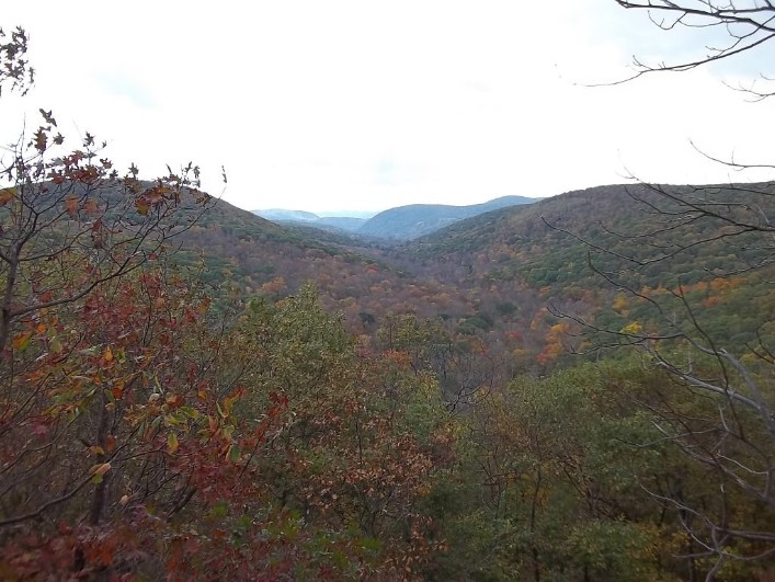
A view north toward the South Taconic Range, which is in the distance near the Massachusetts border.
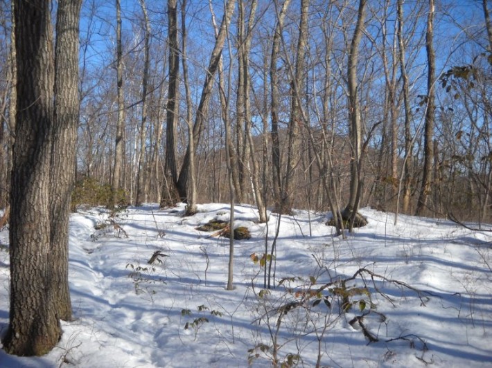
Continuing north on the Blue Trail toward Cobble Mountain. The March snow depth varied in places depending on the elevation and slope. The deepest snow was found in the depressions at higher elevations.
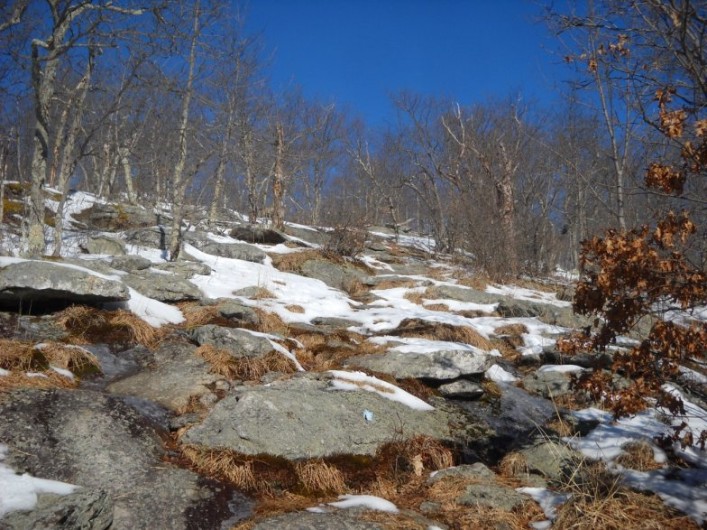
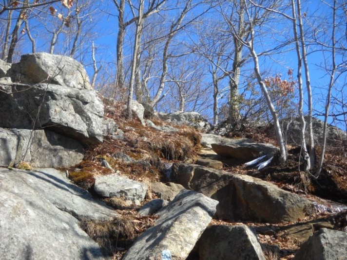
There were a few rocky area at the higher elevations. Rocks tended to be covered with lichens that were fragrant even in the cool weather. Notice how blue the sky was on this day. This is one advantage of taking photos away from sun.
A view westward from Cobble Mountain toward Amenia, New York. The Blue Trail gets very steep and rocky on the north
slope of Cobble Mountain. It may be better for some to return back from
here by going south.
A close-up of the area shown above on a clearer winter day with the Catskills visible in the distance.
Heading for the next peak to the north on the Blue Trail. Notice the absence of snow in the steeper, more exposed areas.
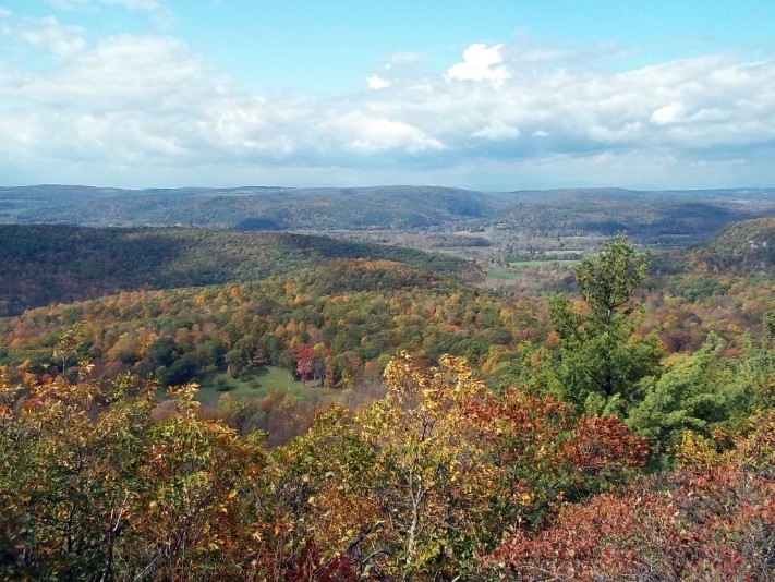
A view south into the Housatonic River Valley from a small peak north of Cobble Mountain.
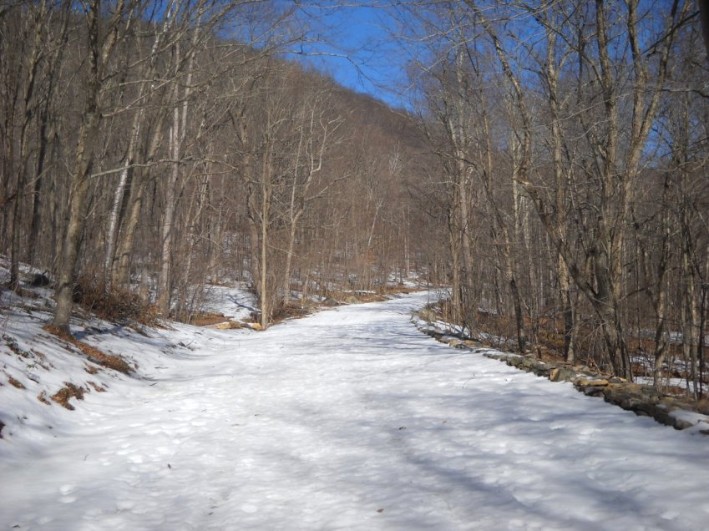
The Blue Trail can be accessed from a few other trails along the way. This is the Orange Trail, which was a road. This trail connects to the White Trail and the Green Trail, which leads to the Blue Trail.
