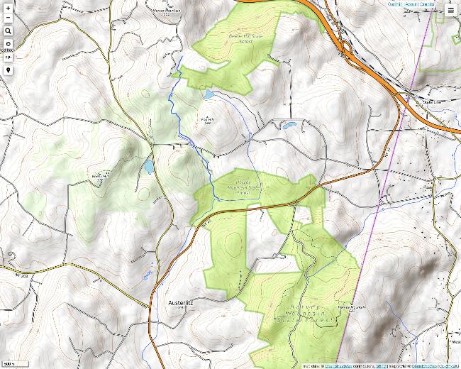
The primary attraction at Beebe Hill in Austerlitz, New York is the large fire tower on the top, which was recently restored. The tower is open to the public, and you can reach it several ways. There is parking at the base of Beebe Hill near Barrett Pond if you would like to take the quicker route. If you would rather see more of the surrounding area, then park on East Hill Road at the Harvey Mountain State Forest and take the red trail for a full-day hike. The trail is marked with round red plates all along the way. Maps are provided online by the Beebe Hill Forest Fire Lookout Association.
Taking East Hill Road to one of the trail entrances on Route 22. There is a sign on Route 22 where the trail crosses the road.
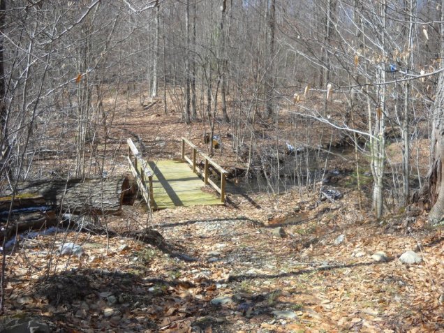
Crossing the Green River Bridge on the Connector Trail in Harvey Mountain State Forest.
I am not sure what this is. It looks like a partial foundation with only two sides below ground level.
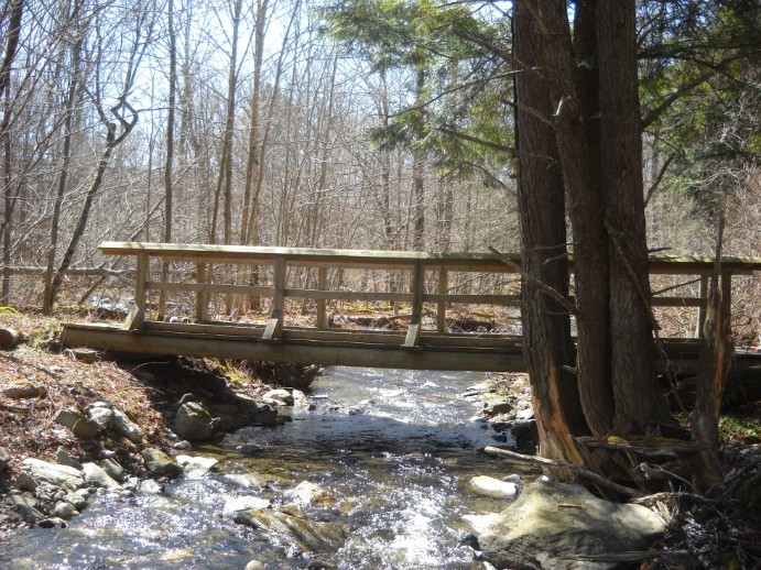
This is the Connector Bridge, which crosses another large brook named Bear Creek. At this point the Connector Trail ends, and the Turkey Hill Trail begins with the same red markers.
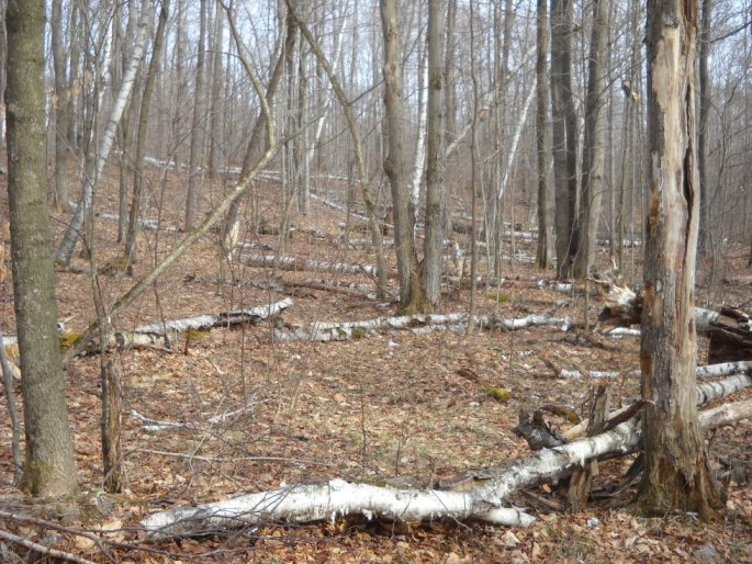
Timber blowdown was a very common sight on the trail, especially between Route 22 and Osmer Road. Most of the trees that were blown down included some weaker birch and pine varieties.
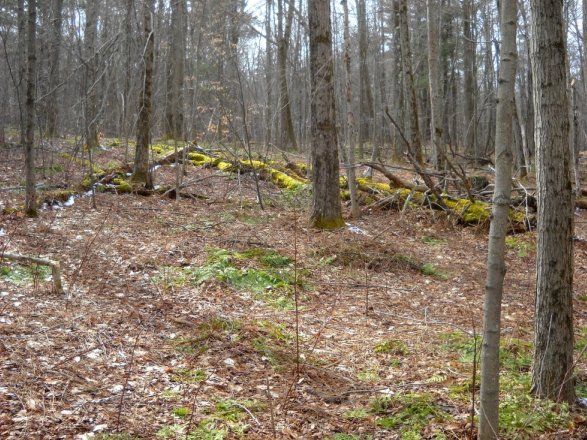
Moss on trees reflecting the afternoon sunlight.
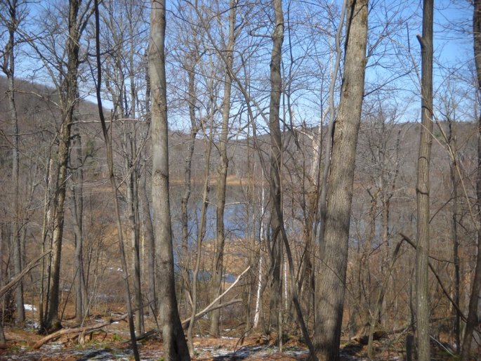
A view of Barrett Pond on Osmer Road from the trail through the trees.
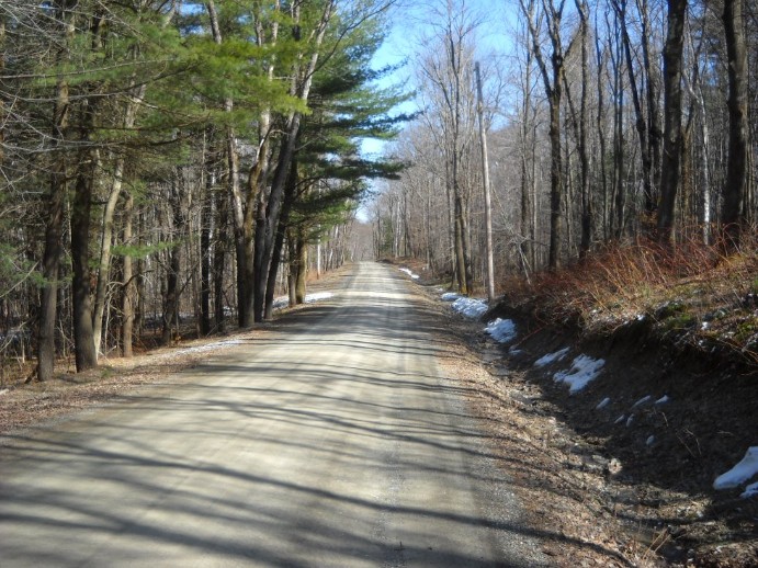
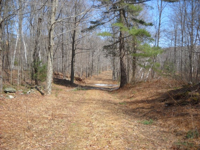
This was one of the clearest forest roads in the region. There were many others though. The trail followed forest roads once in awhile. Anyone following the red trail must be alert to the trail markings and not follow these roads accidentally.
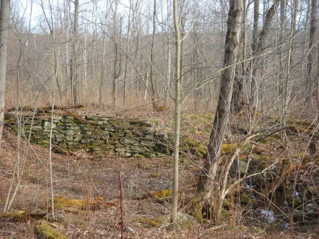
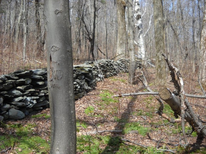
This is the largest stone wall that I have seen in the forest so far.
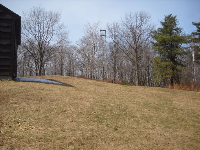
The fire tower on the top of Beebe Hill. The tower is in very good condition, and it seems to be open to the public all year. I don't climb towers too often, so this experience made me a little nervous, but the views were outstanding. It really gives you the feeling that you are in the center of everything.
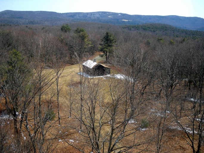
There is a cabin next to the fire tower along with a few other structures. This a view toward the east along the Massachusetts border.
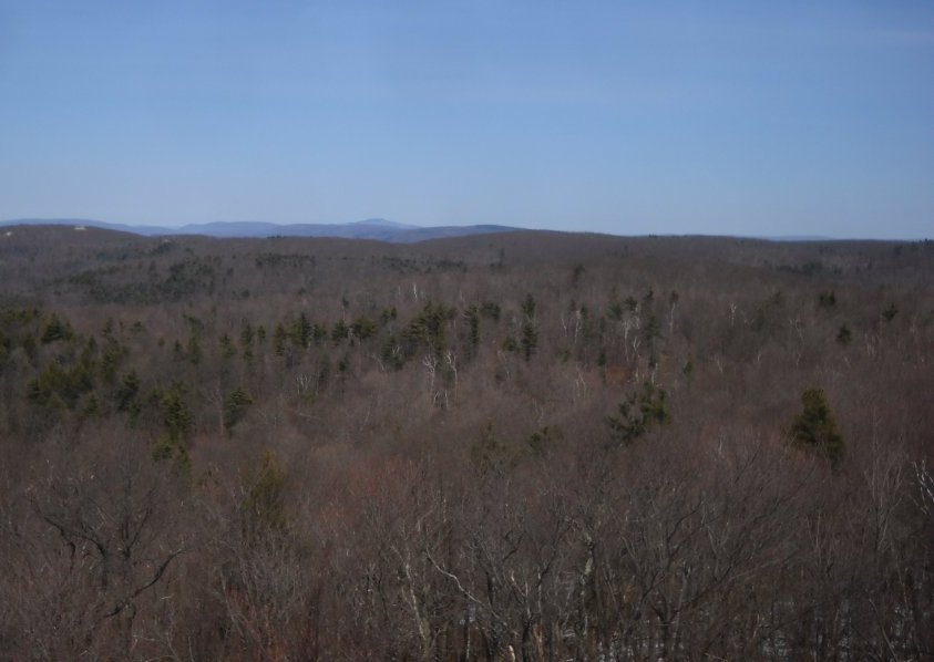
This a view toward the northeast with Mt. Greylock in the distance.
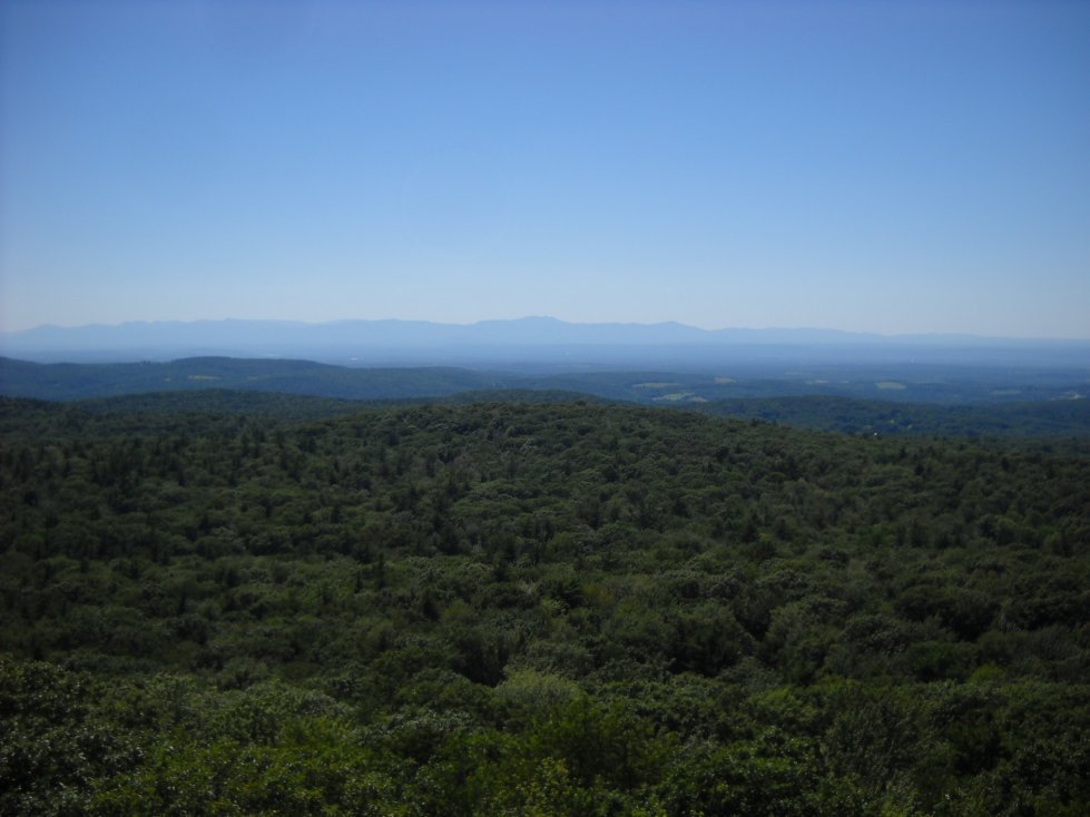
A view southwest toward the Catskills in the summer.
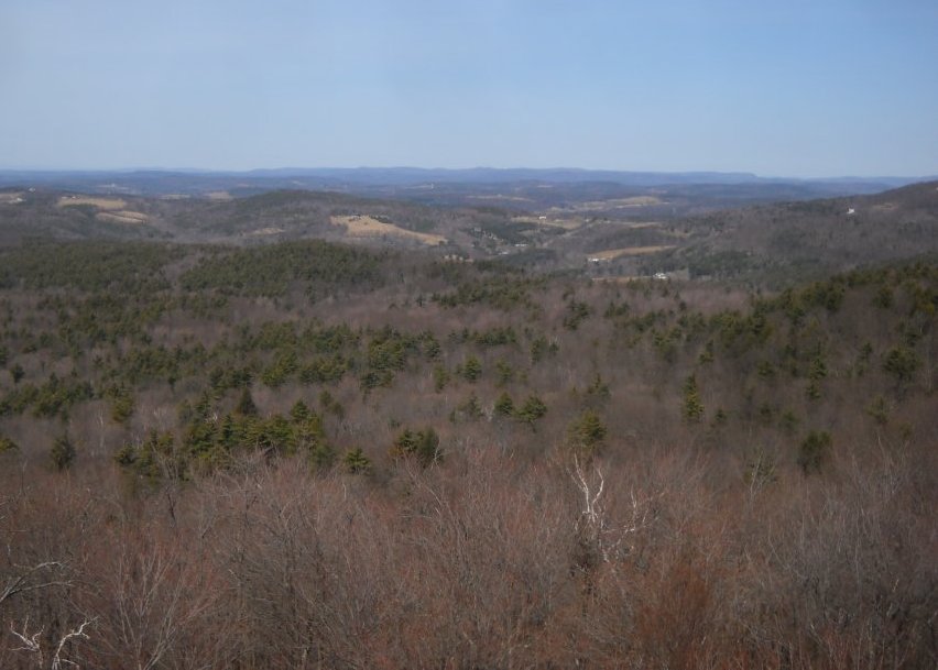
A view to the west toward Chatham, New York.
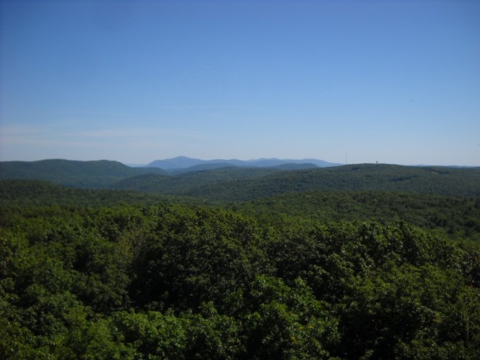
This is a view to the southeast toward the South Taconic Range in the summer. Mt. Everett is the tallest peak in the distance.
